Night club nearby Orange Station
Coronavirus disease (COVID-19) Situation
confirmed cases
1212131
deaths
22407
Bolivia
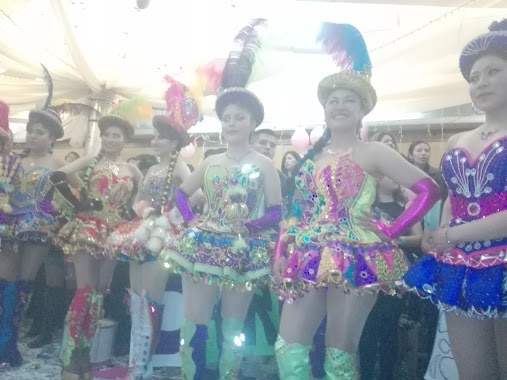
Night club nearby Orange Station
Orange Station
Avenida de la Fuerza Naval, La Paz Bolivien
contacts phone
:
+591
Latitude:
-16.5380717
, Longitude:
-68.0806329
read more
nearest Night club
1.324 km
Senses Club
La Paz
Night club
read more
1.486 km
Salon El Mirador
Bella Vista, Calle 4
Night club
read more
4.258 km
local diamante azul
Avenida Del Maestro, La Paz
Night club
read more
4.795 km
Club Eleve 11
La Paz
Night club
read more
4.825 km
Posada del Dalmata
San Jorge, La Paz
Night club
read more
4.863 km
Local Los Alamos
La Paz
Night club
read more
4.981 km
Licoreria VIKINGO
Macrodistrito Cotahuma
Night club
read more
5.025 km
KITOS
Avenida Saavedra, La Paz
Night club
read more
5.519 km
Mama Diablo
Av.6 de Agosto 2899, La Paz
Night club
read more
5.629 km
Inti Palace
La Paz
Night club
read more
5.657 km
La Condesa
Universidad, La Paz
Night club
read more
6.16 km
Cocos Club
Calle hugo estrada esquina carrasco nº38, Calle Hugo Estrada 38, La Paz
Night club
read more
6.173 km
Discoteca Space
Calle Hugo Estrada, La Paz
Night club
read more
6.244 km
Rock'ola
IBITA, Avenida Saavedra 1760, La Paz
Night club
read more
6.325 km
Pub Discoteca KOKOMO
Calle Hugo Estrada, La Paz
Night club
read more
6.335 km
Kokomos
La Paz
Night club
read more
6.351 km
Mister Coyote
Av. Saavedra Pasaje Saavedra N°25 detras de la Radio Club
Night club
read more
6.37 km
Luz De Luna
La Paz
Night club
read more
6.398 km
Level Club
La Paz
Night club
read more
6.401 km
Discoteca Coliseum
frente Electropaz, Avenue lllimani 1952, La Paz
Night club
read more
6.406 km
Mundo de aventura
Avenue Simon Bolivar, La Paz
Night club
read more
6.463 km
Edif. HELVETIA
Miraflores, La Paz
Night club
read more
6.539 km
Pub Azul
La Paz
Night club
read more
6.629 km
SALON DE EVENTOS BANLLO
Avenida Saavedra, La Paz
Night club
read more
6.728 km
Wheel House
Avenue Tejada Sorzano 1438, La Paz
Night club
read more
📑
all categories
Accounting
Administrative area level 1
Administrative area level 2
Airport
Amusement park
Aquarium
Art gallery
Atm
Bakery
Bank
Bar
Beauty salon
Bicycle store
Book store
Bowling alley
Bus station
Cafe
Campground
Car dealer
Car rental
Car repair
Car wash
Casino
Cemetery
Church
City hall
Clothing store
Colloquial area
Convenience store
Courthouse
Dentist
Department store
Doctor
Electrician
Electronics store
Embassy
Finance
Fire station
Florist
Food
Funeral home
Furniture store
Gas station
General contractor
Grocery or supermarket
Gym
Hair care
Hardware store
Health
Hindu Temple
Home goods store
Hospital
Insurance agency
Jewelry store
Laundry
Lawyer
Library
Light rail station
Liquor store
Local government office
Locality
Locksmith
Lodging
Meal delivery
Meal takeaway
Mosque
Movie rental
Movie theater
Moving company
Museum
Natural feature
Neighborhood
Night club
Painter
Park
Parking
Pet store
Pharmacy
Physiotherapist
Place of worship
Point of interest
Police
Political
Post office
Premise
Real estate agency
Restaurant
Roofing contractor
Route
Rv park, camping
School
Shoe store
Shopping mall
Spa
Stadium
Storage
Store
Subway station
Supermarket
Synagogue
Taxi stand
Train station
Transit station
Travel agency
University
Veterinary care
Zoo
administrative area level 4
sublocality level 1
↑