School nearby CIM LUIS ANSELMO FARFAN Q.
Coronavirus disease (COVID-19) Situation
confirmed cases
1212131
deaths
22407
Bolivia
School nearby CIM LUIS ANSELMO FARFAN Q.
CIM LUIS ANSELMO FARFAN Q.
Avaroa, Tarija Bolivia
contacts phone
:
+591
Latitude:
-21.521604
, Longitude:
-64.728986
read more
nearest School
95 m
Colegio Jesus Buen Pastor
Tarija
School
read more
221 m
Colegio José Manuel Ávila 1
Tarija
School
read more
308 m
colegio lourdes
Suipacha, Tarija
School
read more
423 m
José Manuel Ávila College
Tarija
School
read more
432 m
Escuela Jose Manuel Avila
Tarija
School
read more
452 m
DOYO DE KARATE
La Florida, Tarija
School
read more
520 m
Unidad Educativa JULIO CALVO
Tarija
School
read more
527 m
Centro Integral del Movimiento
Ballivián, Tarija
School
read more
681 m
Centro De Educación Alternativa San Antonio
IV Centenario, Tarija
School
read more
692 m
Jesus of Nazareth College
Tarija
School
read more
700 m
Escuela Fe Y Alegria
IV Centenario, Tarija
School
read more
701 m
GRACE & MUSIC TARIJA
Ecuador, Tarija
School
read more
718 m
Unidad Educativa Carmen Echazú
y, Domingo Paz, Tarija
School
read more
718 m
Unidad Educativa Carmen Echazú
y, Domingo Paz & Santa Cruz, Tarija
School
read more
813 m
Cite Confecciones Tarija
Tarija
School
read more
823 m
Casa de La Educacion
Tarija
School
read more
894 m
CasaCrearttarija
1034, Daniel Campos, Tarija
School
read more
962 m
INSTITUTO TECNOLÓGICO TARIJA
Tarija
School
read more
973 m
Colegio Octavio Campero Echazu
Tarija
School
read more
1.004 km
Escuela santa ana de tarija bolivis
Ballivián, Tarija
School
read more
1.069 km
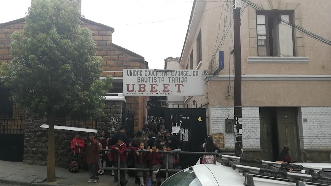
Unidad Educativa Ubeet
Tarija
School
read more
1.07 km
Colegio San Bernardo de Tarija
Corrado 339, Tarija
School
read more
1.073 km
Colegio Privado UBEET
Juan Misael Saracho, Tarija
School
read more
1.075 km
Colegio San Roque
Tarija
School
read more
1.312 km
Iglesia Fuente De Vida
Ramon Rojas, Tarija
School
read more
📑
all categories
Accounting
Administrative area level 1
Administrative area level 2
Airport
Amusement park
Aquarium
Art gallery
Atm
Bakery
Bank
Bar
Beauty salon
Bicycle store
Book store
Bowling alley
Bus station
Cafe
Campground
Car dealer
Car rental
Car repair
Car wash
Casino
Cemetery
Church
City hall
Clothing store
Colloquial area
Convenience store
Courthouse
Dentist
Department store
Doctor
Electrician
Electronics store
Embassy
Finance
Fire station
Florist
Food
Funeral home
Furniture store
Gas station
General contractor
Grocery or supermarket
Gym
Hair care
Hardware store
Health
Hindu Temple
Home goods store
Hospital
Insurance agency
Jewelry store
Laundry
Lawyer
Library
Light rail station
Liquor store
Local government office
Locality
Locksmith
Lodging
Meal delivery
Meal takeaway
Mosque
Movie rental
Movie theater
Moving company
Museum
Natural feature
Neighborhood
Night club
Painter
Park
Parking
Pet store
Pharmacy
Physiotherapist
Place of worship
Point of interest
Police
Political
Post office
Premise
Real estate agency
Restaurant
Roofing contractor
Route
Rv park, camping
School
Shoe store
Shopping mall
Spa
Stadium
Storage
Store
Subway station
Supermarket
Synagogue
Taxi stand
Train station
Transit station
Travel agency
University
Veterinary care
Zoo
administrative area level 4
sublocality level 1
↑